Positioned as the economic, historical, and cultural anchor of Mid-Michigan, Genesee County is widely celebrated as the birthplace of General Motors and the vibrant urban center of Flint. However, beyond its famed automotive heritage lies a diverse landscape of scenic lake communities, flourishing commercial corridors, peaceful rural townships, and extensive county parks. Whether you are relocating to Grand Blanc, commuting along Interstate 75, researching property lines, or planning a weekend visit to the Flint Cultural Center, an accurate and detailed Genesee County Map is an essential navigation tool. Explore our interactive maps, municipal guides, and free printable downloads below.
Interactive Genesee County Map Michigan
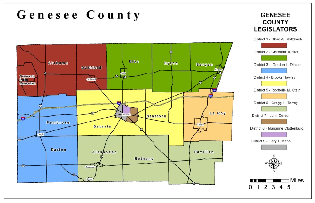
When navigating a map of Genesee County, several primary geographical features stand out:
- Core Cities & Incorporated Communities: Flint (County Seat), Burton, Grand Blanc, Fenton, Davison, Flushing, Swartz Creek, Linden, Montrose, Mt. Morris, and Clio.
- Major Expressways & Freeways: Interstate 75 (I-75) connecting north to Saginaw and south to Detroit, Interstate 69 (I-69) linking Port Huron with Lansing, US Highway 23 (US-23), and M-54 (Dort Highway).
- Higher Education & Cultural Landmarks: University of Michigan-Flint, Kettering University, Mott Community College, Sloan Museum of Discovery, Flint Institute of Arts, and Applewood Estate.
- Parks & Water Recreation: Crossroads Village & Huckleberry Railroad, Lake Fenton, Silver Lake, Flushing County Park, and the Flint River Trail system.
Looking for a statewide perspective? View our master Interactive Michigan County Map to explore all 83 counties.
Genesee County Quick Facts & Demographics
Formed in 1835 from portions of Lapeer, Saginaw, and Shiawassee counties and named after Genesee County in New York, Genesee County is Michigan’s fifth most populous county, serving as the commercial core of the Flint Metropolitan Area.
| Geographic Metric | Data / Details |
|---|---|
| County Seat | Flint, MI (Population: ~80,600) |
| Second Largest City | Burton, MI (Population: ~29,500) |
| Region | Mid-Michigan / Flint Metro |
| Date Established | March 28, 1835 (Organized 1836) |
| Total Area | 649 sq miles (1,682 km²) |
| Land Area | 637 sq miles (98.1%) |
| Water Area | 12 sq miles (1.9%) |
| Population (Census Est.) | ~401,522 residents |
| Population Density | 630.3 people per sq mile |
| FIPS Code | 26-049 |
| Major Freeways | I-75, I-69, I-475, US-23, M-15, M-21, M-54, M-57 |
| Bordering Counties | Saginaw (North), Tuscola (Northeast), Lapeer (East), Oakland (South), Livingston (Southwest), Shiawassee (West) |
Genesee County Townships & Communities Guide
Genesee County contains 17 civil townships encircling its urban center. Understanding municipal jurisdictions is vital for property taxes, public school districts, and municipal administration:
Southern Suburban & Lake Communities
- Grand Blanc Charter Township: The county’s premier residential growth center, featuring executive housing developments, corporate technology parks, and the Warwick Hills Golf & Country Club.
- Fenton & Argentine Townships: Located in the picturesque southern lake district, boasting extensive waterfront real estate around Lake Fenton, Silver Lake, and Lobdell Lake.
- Mundy Charter Township: A major commercial and transportation crossroads along US-23 and I-69, hosting suburban neighborhoods and retail shopping corridors.
Northern & Western Townships
- Flint & Mount Morris Charter Townships: Densely populated commercial and residential areas bordering the city of Flint, featuring major transit access and retail infrastructure.
- Flushing & Clayton Townships: Peaceful communities along the scenic Flint River valley, offering historic downtown charm, river trails, and suburban acreage.
- Davison, Richfield & Forest Townships: The eastern gateway to the county, known for family-friendly communities, recreational reservoirs, and agricultural lands.
- Gaines, Montrose, Thetford & Vienna Townships: Spanning northern and western Genesee, these pastoral communities preserve quiet country living, farming heritage, and access to regional county parks.
Transportation & Regional Arterials
Genesee County’s central location makes it one of Michigan’s foremost distribution and commuting hubs:
- I-75 & I-475: I-75 serves as the main north-south conduit, while I-475 loops directly through downtown Flint, facilitating seamless local commutes.
- I-69: A vital international freight and trade route connecting Canada (Blue Water Bridge in Port Huron) through Flint to Lansing, Fort Wayne, and Indianapolis.
- Bishop International Airport (FNT): Located in Flint Township, providing passenger and air cargo flights connecting Mid-Michigan to major national hubs.
Printable Genesee County Map (Free PDF Download)
Download our clear, high-resolution printable Genesee County Map PDF. Perfect for classroom presentations, road navigation, genealogy reference, and office use:
Frequently Asked Questions (FAQ) – Genesee County Map
What is the county seat of Genesee County, Michigan?
The county seat of Genesee County is Flint. Established in 1819 and incorporated in 1855, Flint houses the Genesee County government complex, 7th Judicial Circuit Court, and prominent cultural and higher-education campuses.
What are the largest cities in Genesee County by population?
The largest cities in Genesee County are Flint (~80,600 residents), Burton (~29,500), Grand Blanc (~7,800 city / ~39,800 township), Fenton (~12,000), and Flushing (~8,200).
What counties border Genesee County?
Genesee County is bordered by Saginaw County to the north, Tuscola County to the northeast, Lapeer County to the east, Oakland County to the south, Livingston County to the southwest, and Shiawassee County to the west.
Explore Other Michigan County Maps
Discover detailed maps and township guides for neighboring regions across Michigan:
- Washtenaw County Map – Ann Arbor, Ypsilanti & University of Michigan district.
- Midland County Map – Central Michigan rivers, cities & Dow Gardens guide.
- Alcona County Map – Lake Huron shoreline, Huron National Forest & Harrisville.
- Keweenaw County Map – Upper Peninsula wilderness, Brockway Mountain & Copper Harbor.