Genesee County is more than just the home of Flint; it’s the vibrant, historic core of Mid-Michigan. Whether you’re relocating, researching a business opportunity, tracing family roots, or planning a visit to a cultural site, a detailed Genesee County Map Michigan is your first step. This isn’t just a static image—it’s your gateway to understanding the roads, neighborhoods, and communities that define this iconic region. Use our interactive tools and downloadable maps to explore with confidence.
Interactive Genesee County Map Michigan
- Cities & Villages (Flint, Fenton, Grand Blanc, etc.)
- Township Boundaries (Mt. Morris, Mundy, Burton, etc.)
- Major Highways (I-75, I-69, US-23)
- Points of Interest (Schools, Parks, Hospitals, Cultural Sites like Sloan Museum)
Exploring more of the Great Lakes State? Our master Interactive Michigan County Map offers a complete view of all 83 counties.
Where is Genesee County, Michigan?
Genesee County is strategically positioned in Mid-Michigan, serving as a hub between Detroit and the Tri-Cities. It’s part of the Flint Metropolitan Area and is a key piece of any Michigan county map.
| Feature | Details |
|---|---|
| County Seat | Flint, MI |
| Region | Mid-Michigan / Flint Metro |
| Founded | 1835 |
| Total Area | 650 sq mi |
| Major Highways | I-75, I-69, US-23, M-15, M-21, M-54 |
| Bordering Counties | Oakland, Lapeer, Shiawassee, Saginaw, Tuscola |
| Population (2023 Est.) | ~406,000 |
| ZIP Codes | 48501–48507, 48439, 48451, etc. |
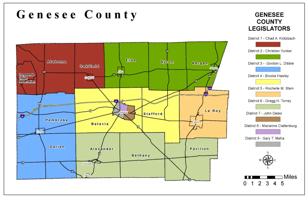
Genesee County Township Map & Key Communities
A simple city map doesn’t capture the whole picture. Understanding the townships is crucial for everything from real estate to public services. Our detailed Genesee County Township Map highlights these distinct administrative areas.
- City of Flint: The urban core, home to cultural institutions and the University of Michigan-Flint.
- Grand Blanc Township: A major commercial and residential hub with high-growth areas.
- Fenton: A charming city on the Shiawassee River, known for its lakes and downtown.
- Mt. Morris Township: A populous township bordering Flint, rich in community services.
- Mundy Township: A key area for commerce, featuring the Genesee Valley Center mall.
- Burton: The county’s second-largest city by population, a major residential area.
Why Use a Detailed Genesee County Map?
A precise Genesee County Map Michigan is indispensable for:
- Real Estate & Relocation: Identify neighborhood boundaries, school districts, and proximity to amenities. Is this home in the Grand Blanc or Carman-Ainsworth school district? The map clarifies.
- Business & Logistics: Plan delivery routes, analyze market coverage, and understand the transportation network with I-75 and I-69.
- Genealogy & Historical Research: Locate old property lines, cemeteries, and municipal records tied to specific townships.
- Travel & Tourism: Find your way to the Flint Cultural Center, Applewood Estate, or a specific park within the extensive county park system.
- Education: An essential tool for students learning about Michigan’s county government structure and urban geography.
Printable Genesee County Map (Free PDF Download)
For your convenience, we offer a high-resolution, printable Genesee County Map in PDF format. This is perfect for:
- Classroom projects and presentations.
- Trip planning without cell service.
- Quick reference on your wall or in your binder.
Conclusion: Your Gateway to Genesee County
From the revitalizing energy of downtown Flint to the thriving suburban communities, Genesee County is a region of opportunity and history. We’ve built this Genesee County Map Michigan resource to be the most trusted, comprehensive, and user-friendly guide available online. Your exploration of Michigan’s automotive heartland starts here.